- Home
- Departments
- Departments G - Z
- Geographic Information Systems (GIS)
- Useful Census Mapping Links
Useful Census Mapping Links
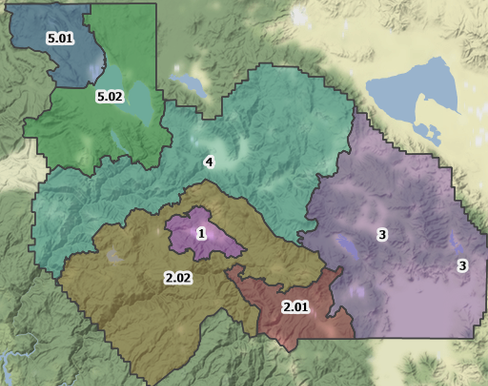
Plumas County 2020 Census Data Map Viewer
Plumas County's 2020 Census Blocks, Block Groups, Tract Boundaries, and Census Designated Places. Allows users to zoom in and find population data, housing counts, and a more detailed breakdown of race and ethnicity.
To view the below interactive map full screen, please click HERE.
Other Useful Census Information and Maps (click on logo to activate the website link):

External Web Links: This website contains links to other websites on the Internet; they are provided as a convenience to you. The inclusion of links on this website, however, should not be construed as an endorsement by Plumas County of those links and their contents. Please be aware that we do not control or guarantee the accuracy, relevance, timeliness, or completeness of this outside information.